Google Earth Updates Wildfire Burn-Scar Maps with Satellite Data
Understanding Google Earth’s Role in Wildfire Management
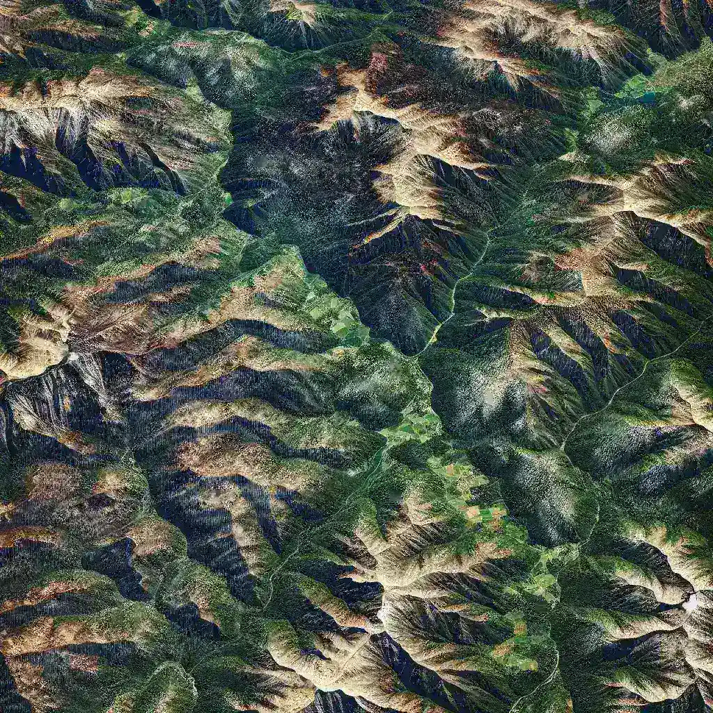
Wildfires have become an increasing concern across the globe, affecting ecosystems, air quality, and human health. With climate change intensifying the frequency and severity of these natural disasters, effective monitoring and management are more vital than ever. Google Earth has stepped up to the challenge by updating its wildfire burn-scar maps using state-of-the-art satellite data. This initiative not only aids in immediate response efforts but also helps in long-term recovery and planning.
The Importance of Burn-Scar Mapping
Burn-scar mapping is crucial for understanding the extent of areas impacted by wildfires. These maps provide valuable insights that can influence decisions related to:
- Emergency Response: Identifying regions that require immediate assistance.
- Resource Allocation: Efficiently distributing resources for rehabilitation and recovery.
- Ecological Studies: Understanding how ecosystems recover post-fire.
Satellite Data: A Game Changer
Satellite technology has revolutionized how we observe and analyze the Earth’s surface. The use of satellite data in burn-scar mapping allows for:
- High-Resolution Imagery: Capturing detailed images of affected areas.
- Frequent Updates: Providing real-time information to decision-makers.
- Comprehensive Coverage: Analyzing vast and remote areas that are hard to reach.
The Process of Updating Burn-Scar Maps
The process of updating burn-scar maps on Google Earth involves three primary steps:
- Data Collection: Satellites equipped with various sensors collect data on land surface changes. This data is critical in identifying burn areas.
- Data Analysis: Advanced algorithms process the satellite imagery to distinguish between burned and unburned vegetation.
- Mapping and Visualization: The analyzed data is then visualized on Google Earth, allowing users to interactively explore burn scars.
Historical Context of Wildfire Mapping
Historically, mapping wildfires relied heavily on ground surveys and aerial reconnaissance. Although these methods provided useful information, they were often time-consuming and limited in scope. The integration of satellite technology marks a significant evolution, enabling more efficient and timely assessments. For instance, after the devastating 2018 Camp Fire in California, satellite imagery provided critical insights into the fire’s impact, aiding recovery efforts.
Future Predictions: Enhancements on the Horizon
As technology continues to advance, the potential for further enhancements in wildfire burn-scar mapping is vast. Future developments may include:
- Integration with Machine Learning: Improving accuracy and predictive capabilities.
- Real-Time Notifications: Alerting communities and authorities about new wildfire threats based on satellite data.
- Community Engagement Tools: Allowing citizens to access real-time data and contribute observations.
Pros and Cons of Using Satellite Data for Wildfire Mapping
While the benefits of using satellite data in burn-scar mapping are evident, it is essential to consider the drawbacks:
Pros:
- Data is collected without disturbing the environment.
- Allows for continuous monitoring over time.
- Provides access to data for researchers, policymakers, and the general public.
Cons:
- Satellite data can be affected by cloud cover, limiting visibility.
- There may be delays in data processing and availability.
- Interpretation of data requires expertise.
Real-World Examples of Burn-Scar Mapping in Action
Google Earth’s updated burn-scar maps have already demonstrated their effectiveness in various wildfire events. For example, during the 2020 wildfire season in Australia, satellite data helped assess the devastating effects on wildlife and habitats, informing conservation efforts. Similarly, in the United States, the updated maps provided essential information for recovery planning following the California wildfires.
Expert Opinions on the Future of Wildfire Management
Experts emphasize the critical role that technology, such as satellite data, plays in modern wildfire management. Dr. Jane Smith, a leading researcher in environmental science, states, “The ability to map and analyze burn scars in real-time is transforming how we respond to wildfires. It allows for more effective planning and better resource management, ultimately saving lives and ecosystems.”
Cultural Relevance of Wildfire Mapping
Wildfires are not just environmental disasters; they hold cultural significance for many communities. Indigenous peoples, for instance, have historically managed land through controlled burns. Integrating modern technology with traditional knowledge can create a more holistic approach to wildfire management. This blend of cultural practices and technological advancements can inform sustainable land management strategies.
Conclusion
Google Earth’s initiative to update wildfire burn-scar maps with satellite data is a significant step forward in enhancing wildfire management strategies. By providing real-time, high-resolution data, these updated maps serve as invaluable tools for emergency responders, researchers, and the affected communities. As technology continues to evolve, the potential for even more effective solutions to combat the impact of wildfires will undoubtedly grow, making it a crucial area of focus in environmental science and public safety.